BDMS-UB Workshop: Developing a High-Resolution Blended Rainfall Dataset for Botswana
From 10 to 12 November 2025, the University of Botswana’s Department of Physics hosted a three-day workshop bringing together officers from the Botswana Department of Meteorological Services (BDMS) and UB researchers. The workshop, led by Dr. Tamuka Magadzire with the UCSB Climate Hazards Center as supporting partner, focused on developing a high-resolution blended rainfall dataset for Botswana by combining CHIRPS satellite-derived estimates with local station observations.
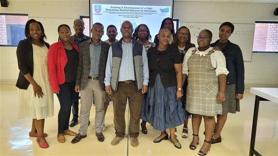
The three-day programme combined presentations on the principles of satellite-station data blending with intensive hands-on exercises using GeoCLIM - a tool developed by USGS/FEWS NET that enables users to produce Improved Rainfall Estimates (IRE) by merging CHIRPS with surface station data. The first day introduced participants to raster data concepts, the CHIRPS product and the FEWS NET Data Portal, and began working through BDMS station data quality assessment. Day 2 was dominated by the blending exercises themselves, running comparative blends of BDMS station data against CHIRPS v2, CHIRPS v3, and CHIRP v3. Day 3 covered quality control and validation of the blended products, climatological analysis - including normals, anomalies, and SPI - extraction of time series for specific locations, and a discussion of next steps and the path to operational implementation.
The workshop produced preliminary blended datasets that demonstrated substantial improvements in accuracy. Blending exercises using October 2025 data with 184 stations showed the R-squared between gridded estimates and station observations improving from 0.22 to 0.73, with mean absolute error falling from 6.64 mm to 2.67 mm. A parallel test using October 2016 data - where only 21 stations were consistently available, representative of much of the historical record - confirmed that blending improves accuracy even with a limited station network, though the gains are larger when more stations contribute.
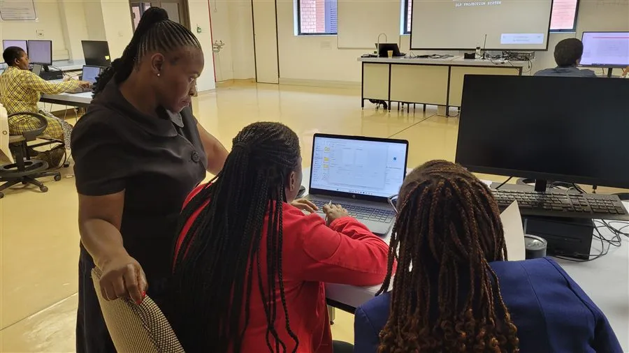
The workshop closed with a discussion of the path forward on two parallel workstreams: completing the curation and cleaning of historical station data to support a quality historical blend from 1981 to present, and establishing an operational blending workflow - covering station data compilation, quality control, blending, analytical product generation, and dissemination to BDMS agromet and drought monitoring sections. RAMP Lab confirmed its willingness to serve as the processing backend for the operational process.
A key outcome of the workshop was the decision to formalise the collaboration by establishing a BDMS-UB Rainfall Data Blending Working Group, bringing together representatives from BDMS’s Remote Sensing, Agrometeorology, Hydrometeorology, Climate Services, and Data and Information Management sections alongside the UB Physics Department RAMP Lab team. The Working Group will provide the institutional framework to advance the dataset development, sustain the collaboration, and explore options for expanding the station network available for blending - including data sharing arrangements with neighbouring countries through bilateral or SADC channels, and supplementary data from complementary datasets such as SASSCAL. The operational blending workflow established through this collaboration is the foundation on which the Botswana Seasonal Rainfall Monitoring Portal was subsequently built.
The workshop followed the visit of Dr. Greg Husak of the UCSB Climate Hazards Center to UB and BDMS in October 2025, reflecting the deepening engagement between RAMP Lab, BDMS, and CHC around satellite-station blending and operational rainfall monitoring for Botswana.